

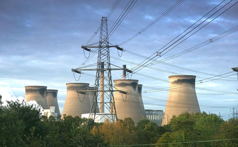
In partnership with the University of Lancaster, aerial mapping company Bluesky has launched a new tool which can be used to predict the likelihood of trees falling on essential infrastructure such as roads, railways and power lines. Using complex wind analysis techniques combined with geographic data from Bluesky, the model assigns a level of risk to individual trees. Accessible via a web based application, users of the TREEFALL (Tree Risk Evaluation Environment for Failure and Limb Loss) tool are expected to include transport infrastructure managers, utility companies and Local Authorities.
“Extreme weather events are becoming increasingly common,” commented Alan Blackburn, Professor of Geospatial Science at the Lancaster Environment Centre, part of the University of Lancaster. “The latest storm season kicked off with storm Angus, followed in close succession by Barbara, Conor, Doris and Ewan, each of which saw disruption to travel, damage to property, power outages and, unfortunately, in some instances, loss of life.
“By giving the people responsible for our infrastructure and environment the ability to better predict the impact of such weather events and the data to enable them to minimise damage through pre-emptive maintenance, we hope we can reduce the damage caused by future events,” continued Prof Blackburn.
James Eddy, Technical Director of Bluesky, added, “This tool, underpinned by the most up to date and accurate data, is really all about the effective targeting of limited resources. Using TREEFALL, a desktop survey along a railway line or power network can be undertaken, then an assessment of risk can be made and action, if required, taken, minimising the potential for future disruption caused by falling trees.”
Data from Bluesky, including the unique National Tree Map, laser mapped 3D height models, Colour Infrared (CIR) data and soil data, helps TREEFALL identify individual trees and their proximity to electricity, road and rail infrastructure. The data also contributes to a more detailed assessment of their location, health and other features that may cause failure. TREEFALL is the first tree failure prediction model to approach the problem using individual tree parameters, rather than whole tree stands.
TREEFALL is the outcome of a research project titled ‘Delivering Resilient Power, Road and Rail Networks by Translating a Tree Failure Risk Model for Multi-Sector Applications’, led by Lancaster University with funding from NERC and Scottish Power. Other stakeholders included UK Power Networks, Scottish Power, Transport Scotland, Scottish Water, Atkins Global, ADAS and the British Geological Survey (BGS).


