A collaboration between air quality visualisation firm EarthSense and Leicester City Council will develop and test tools to support better communication about the implications of burning wood at specific times and places to enable better management of domestic stoves and emissions.
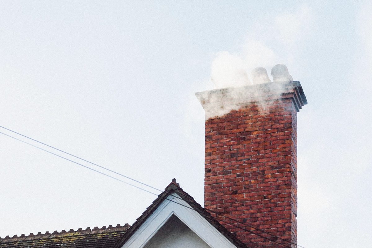
This project will identify particulate matter (PM2.5) and (PM10) emissions caused by a range of activities including domestic wood burners, open fires, bonfires, waste burning and restaurants. Past studies have found wood burning during winter months can contribute up to 31 per cent to locally-sourced PM2.5 (DEFRA). The project will also outline how exposure to such emissions impacts on the health of public.
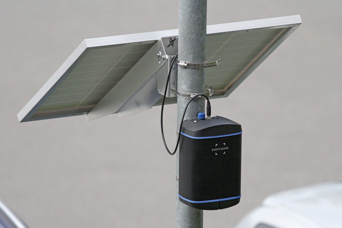
Creating cutting-edge databases for licenced and unlicenced wood burning emissions, the project uses combined information from EarthSense’s MappAir® 10-metre city-scale pollution model, using traffic data, source apportionment and the Council’s network of Zephyr® air quality sensors. The Zephyr® network has been established to provide an improved understanding of locally-sourced particulate matter from domestic combustion, which cannot be readily extracted from other air pollution networks that are more focused on traffic sources. This analysis generates estimates of wood burning emissions across the city and their contribution to pollution levels.
Using the data provided by EarthSense, the Council will be able to take early measures to manage wood burning smoke emissions and help to support the city’s efforts in improving PM2.5 levels. Working to improve the health and wellbeing of the public, the project provides a new tool to highlight the locations and times to minimise emissions and communicate key information to the council and the public.
The MappAir® model uses data inputs from weather, traffic, satellite and EarthSense’s own Zephyr® sensors with advanced modelling technique, Computational Fluid Dynamics (CFD) to provide information on pollution flows throughout urban canyons and around buildings in the city of Leicester. The model also provides historic pollution data and up to three-day forecasts of air quality, all of which can be integrated with existing systems via an API, or presented on MyAir®, EarthSense’s online visual dashboard, to support interpretation of the data Dr. Roland Leigh, Technical Director at EarthSense, commented on the project: “Solid fuel burners can contribute significantly to particulate pollution in our cities with the potential to contribute to and worsen serious health problems. Making use of the MappAir® model and Zephyr® sensors provides Leicester City Council with a holistic understanding of air pollution and how domestic stoves, in particular, are contributing to potentially hazardous concentrations.”
Leigh continued: “Using the model’s forecasting feature with integrated weather data means Leicester City Council and the public will be able to take pre-emptive measures on cold days to manage the use of stoves and minimise particulate matter emissions from burning wood. By issuing improved guidance to the public about unsafe PM2.5 levels and communicating the dangers of burning wood, this could minimise smoke emissions and help those living in Leicester make environmentally-conscious decisions. Such initiatives help to aid large scale changes for the improvement of our health.”
Deputy city mayor, Councillor Adam Clarke, who leads on transportation and environment, said: “This ambitious project will play a vital role in helping us build a clear picture of the sources of PM2.5 pollution, which parts of the city are most affected and the impact that domestic wood burning is having on local air quality.
“We are already making huge progress in improving air quality, with nitrogen dioxide at the lowest levels we’ve ever seen in the city. There may be no current requirement to monitor PM2.5, but this important study will put us ahead of the curve and help us take decisive local action to tackle the potentially its harmful effects.


