

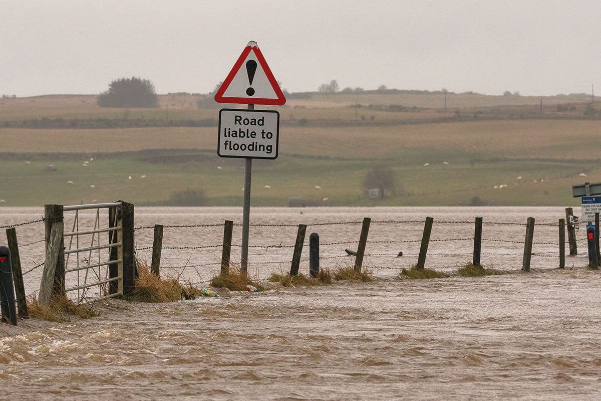
The take-up of flood hazard mapping by SEPA will provide a clearer indication of surface water (also known as pluvial) flood risk in Scotland, says the agency. It will enable communities and businesses to better mitigate the risks of surface water flooding.
Surface water flood maps have been publicly available on the SEPA website since 2013. The group’s 2018 National Flood Risk Assessment identified surface water as the largest source of flood risk affecting Scotland.
The mapping, which will be provided by JBA Consulting, will provide “a complete refresh of our national surface water flood maps using the most up-to-date data on current and future rainfall, improving our flood map products to provide more confident results of where surface water flooding is likely,” says SEPA.
The project will involve an initial pilot stage which will trial high-resolution modelling and mapping methodologies, and a range of model assumptions and parameters across four pilot areas: Aberdeen, Glasgow, Peebles and Torridon. When the pilot stage ends early next year, an agreed approach will be rolled out across Scotland and the mapping will be produced in a sequence of 11 geographical phases.
Vincent Fitzsimons, Head of Hydrology & Flooding at SEPA, spoke of the need to respond to the latest IPCC report, indicating that climate change is accelerating.
“A major part of this is to ensure the information on flood risk is available to those who need it most.”
David Bassett, Director, JBA Consulting said: “Scottish Government surface water management planning guidance issued in 2018, highlighted that 23% of annual average damages associated with flooding across Scotland were forecast to come from surface water flooding. Of the 27,500 homes predicted to be at risk, 39% are in areas of higher social vulnerability.
SEPA said the modelling methodology will consider a wide range of present-day and future climate scenarios using data from the UK Centre of Ecology and Hydrology and the recently released Future Drainage project.
The project provides future rainfall profiles which forecast the ‘shape’ of high-intensity rainfall events, that are directly applicable to surface water mapping and the analysis of the impacts of climate change on flood risk


