

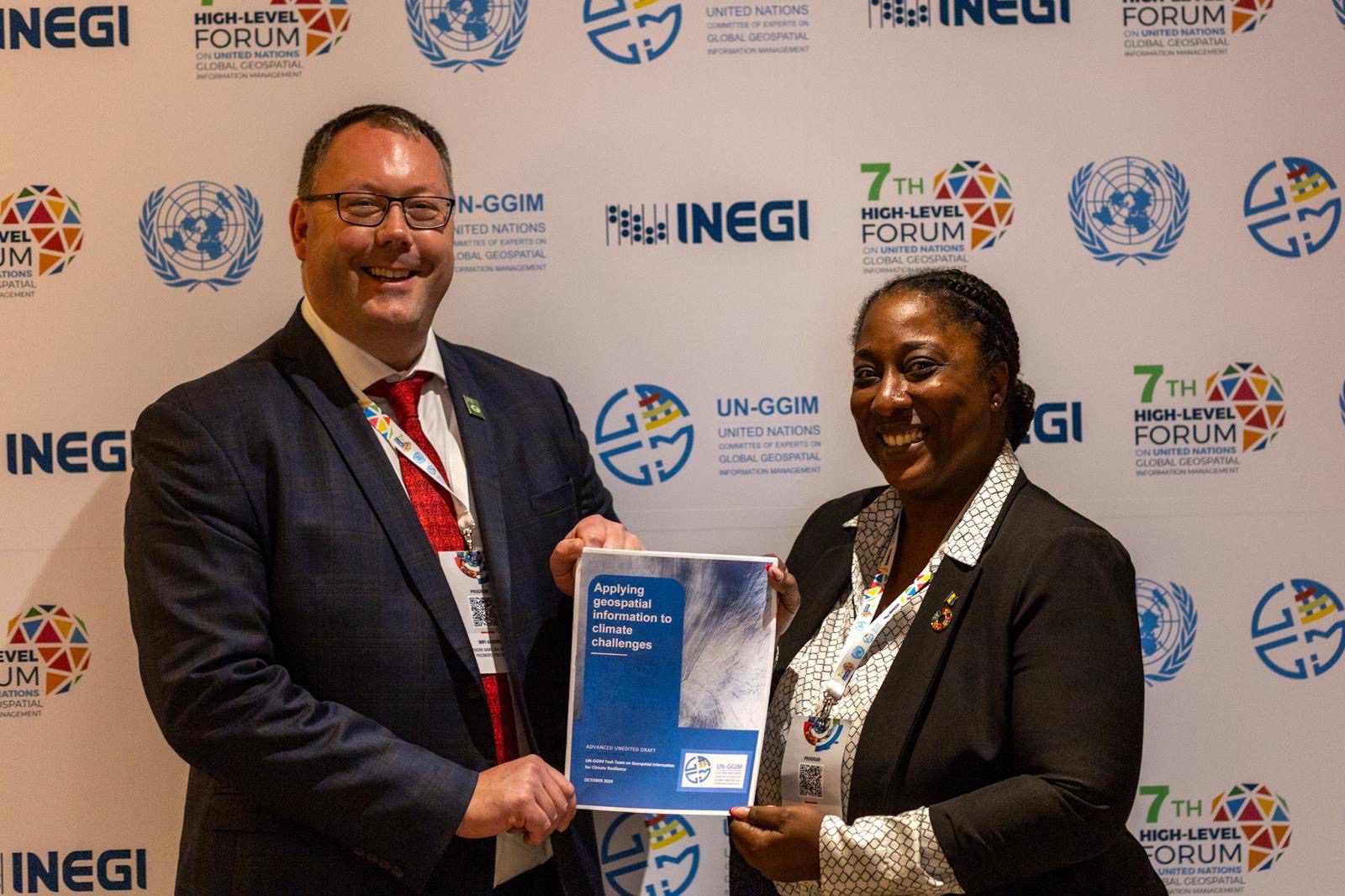
Using its trusted geospatial expertise, Ordnance Survey (OS) on behalf of the UK has been working closely with experts from Barbados and Tonga to co-author a new report from the UN-GGIM Task Team on Geospatial Information for Climate Resilience ‘Applying Geospatial Information to Climate Challenges’, which focuses on how geospatial data is transforming climate action, and can help with climate resilience, adaptation, and mitigation. This article provides more background to the report, and draws upon material from the blog of co-author James Norris, International Policy Lead at Ordnance Survey.
Geospatial data provides a detailed understanding of what is happening where. By mapping out vulnerabilities, geospatial data, in all its forms, helps the effective allocation of resources to prevent and mitigate risks. It also supports governments and communities in making informed decisions, whether building resilient infrastructure or improving social and economic opportunities to reduce the vulnerabilities of specific communities.
The need for technical expertise in data capture and the role of space
Monitoring and mitigating greenhouse gas emissions is central to global efforts to combat climate change. Recent advances in satellite technology have offered consistent streams of data on a global scale. One of the key challenges in using satellite data for emissions monitoring is the need for additional context and technical expertise. National mapping organisations, such as OS, play a vital role here by linking detailed land administration records with high-resolution satellite data. The geospatial lens can provide so much more physical detail such as type of vegetation or buildings. This integration allows for a more comprehensive understanding of specific locations, which can inform and help solve societal and environmental problems.
By automating data integration and analysis, Artificial Intelligence (AI) can enable faster, more informed decision-making. Machine learning algorithms can efficiently process large and diverse geospatial datasets, providing policymakers with timely, accurate information.
In terms of resilience, AI improves the monitoring and response to environmental changes, natural disasters and other crises. Automation of satellite imagery and sensor data analysis allows for early warnings and more accurate impact assessments, enabling proactive measures.
One example of location data being used for improving resilience and creating a mitigation strategy is in Barbados. Through the Coastal Risk Assessment and Management Programme, the government of Barbados has sought to strengthen resilience to coastal risks by enabling detailed mapping of vulnerabilities such as coastal erosion, flood zones and storm surge risks. This has helped identify critical areas that are prone to hurricanes and rising sea levels, and create early warning systems to mitigate the impact of climate-related emergencies.
International cooperation
While some countries have made significant progress in collecting and using geospatial data, many others face challenges due to a lack of infrastructure, technical capacity, funding and adequate policies, creating a digital divide. UN-GGIM promotes international co-operation to break this divide down, ensuring that all countries, regardless of their level of development, can access and use geospatial information to address global challenges such as climate change, urbanisation and natural resource management.
As UN-GGIM continues to develop global geospatial frameworks, national governments and organisations must collaborate to ensure these tools are effectively applied. As technological advances continue, trusted and foundational geospatial data will become an even more powerful tool in the fight against climate change, enabling precise, evidence-based analysis for more effective and targeted solutions.
The UN-GGIM Task Team on Geospatial Information for Climate Resilience was established by the United Nations Committee of Experts on Global Geospatial Information Management in 2023 to strengthen interlinkages between geospatial, statistcial, climate and other related communities and organisations of the United Nations system. In its considerations the Committee of Experts emphasized that acting on climate resilience remains an urgent imperative, and that it is critically important to advocate for and raise awareness of the potential of geospatial information for climate resilience. This initial report is the first step in responding to those needs.


