
Sustainability software and data firm Ecometrica is aiming to take some of the guesswork out of flood and crop yield prediction, forest protection and water stewardship with a major enhancement to its Earth Observation (EO) Platform, announced in late October.
The firm says it will empower governments, NGOs, farmers, corporates and investors across the world to manage natural resources in remote locations more effectively. The news came on the day of the 70th anniversary of the first earth observation photo taken from space by the White Sands rocket. Scientists at the White Sands Missile Range in New Mexico used a captured V2 rocket to photograph the earth from a height of 65 miles on 24 October 1946.
Harnessing technology developed at the University of Edinburgh, Ecometrica’s Earth Observation Platform now brings together vast quantities of data collected by Europe’s Sentinel-1 satellite mission. The research behind the technology has been led by Drs Edward Mitchard and Murray Collins of the University of Edinburgh’s School of GeoSciences under funding received from the UK Natural Environment Research Council.
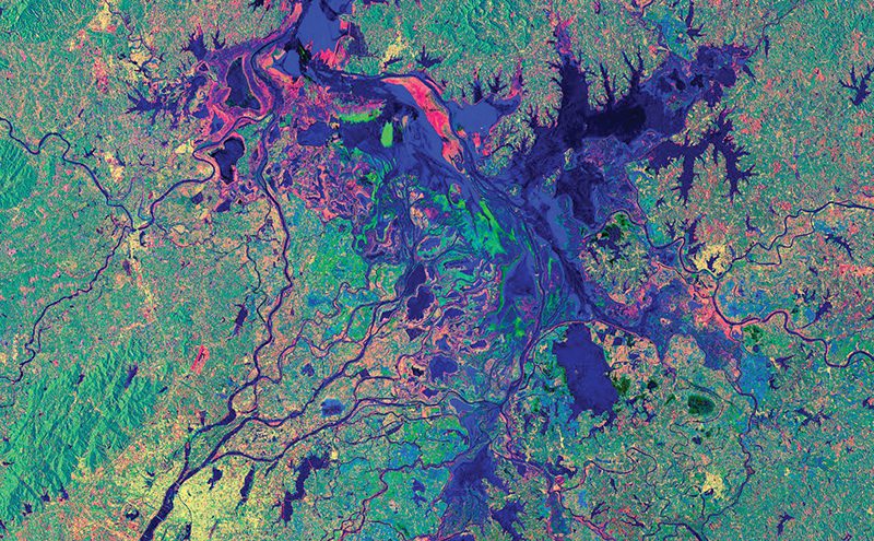
Sentinel-1, which consists of two state-of-the art satellites, provides continuous radar images from every part of the globe, mapping Europe every three days and the entire world once every 12 days. This provides continuous mapping of forest health, vegetation, biomass, soil types, land use change, sustainable agriculture and water resources. As the radar can penetrate any cloud cover, data is guaranteed to be available, irrespective of poor conditions, and enables bespoke data collection over smaller areas.
Sarah Middlemiss, space programme administrator at Ecometrica, said: “The data from Sentinel-1 offers far greater detail and consistency than any other freely available source. With the help of Ecometrica’s EO Labs, terabytes of data beamed by Sentinel-1 can be pooled into a relevant, accessible format, offering a bird’s eye view of global environmental impacts, such as forest patterns and water resources, irrespective of the weather.
“This intelligence will be invaluable to clients looking for, say, near real-time monitoring of rainforests in Latin America and Africa, analysis of UK soil moisture to predict flooding, or for agri-businesses to improve yields. Corporates and investors, for example, can now gather greater detail for smaller areas to make more informed decisions without relying on traditionally expensive commercial satellite operators.”
Ecometrica CEO Gary Davis added: “Imagery and data from Sentinel-1 has tremendous potential to be used commercially and for earth conservation. By making this data easily accessible, the possibilities are limitless.
“Our aim is to develop innovative solutions for monitoring and reporting environmental information. The latest enhancement of Ecometrica’s Earth Observation Platform positions the company as a truly end-to-end provider of high value, satellite-derived information.”
Dr Edward Mitchard, NERC Research Fellow in the University’s School of GeoSciences, said: “We have used our expertise in the processing and application of satellite radar data to develop a pathway that downloads, corrects and stacks up Sentinel-1 radar scenes. In their raw form these data are very variable, suffer from artefacts related to terrain, and subsequent images captured over the same location do not line up.
Our software solves these problems and will enable Ecometrica to concentrate on building value-added tools from time series of radar data.”