

A new online tool is intended to help households and businesses in England check for flood risks to property.
Data from the Environment Agency has been combined with mapping and postcode details to provide access to flood area information which, for the first time, has been made available as ‘open’ data.
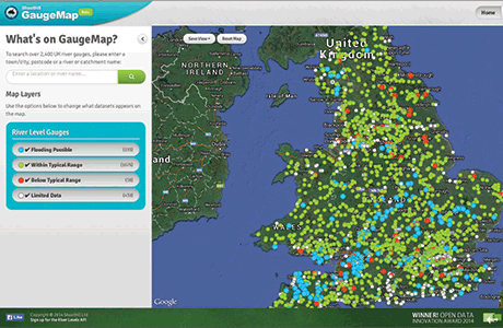
CheckMyFloodRisk.co.uk, from data visualisation specialist Shoothill, allows users to pinpoint their distance from known risks of flooding from rivers and the sea. Overlaid on an interactive map, users can input a post code or address and see its proximity to flood risks – achieving greater accuracy by dragging the ‘pin’ over any location – the risk (if any) and distance to the nearest flood zone is then automatically displayed.


