SLR Consulting Ireland is helping clients to capture real-time surveillance of dynamic site conditions with the use of its Remotely Piloted Aircraft System (RPAS) – commonly known as a drone.
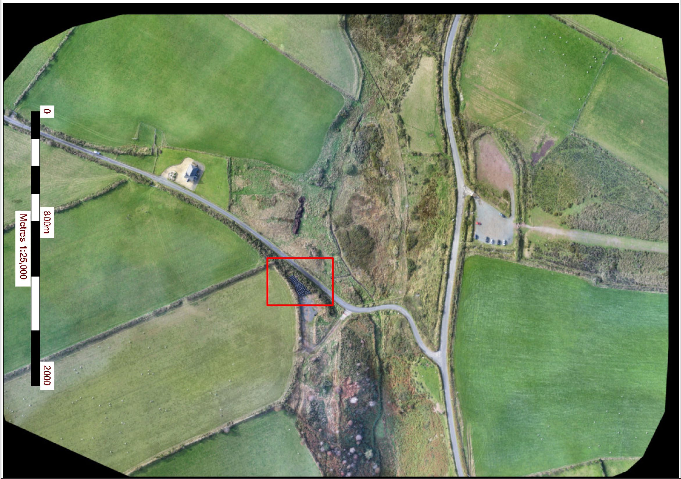
SLR Principal Peter Kinghan, explained: “RPAS’s can produce high resolution aerial photos and maps allowing us to provide up-to-date pictures of the current conditions of a site and surrounding lands, including detailed information of previously inaccessible areas.
“The benefits of using drones are already proving attractive to our clients, especially in the minerals and development sectors, as they really appreciate both the cost and time savings over traditional surveying methods.”
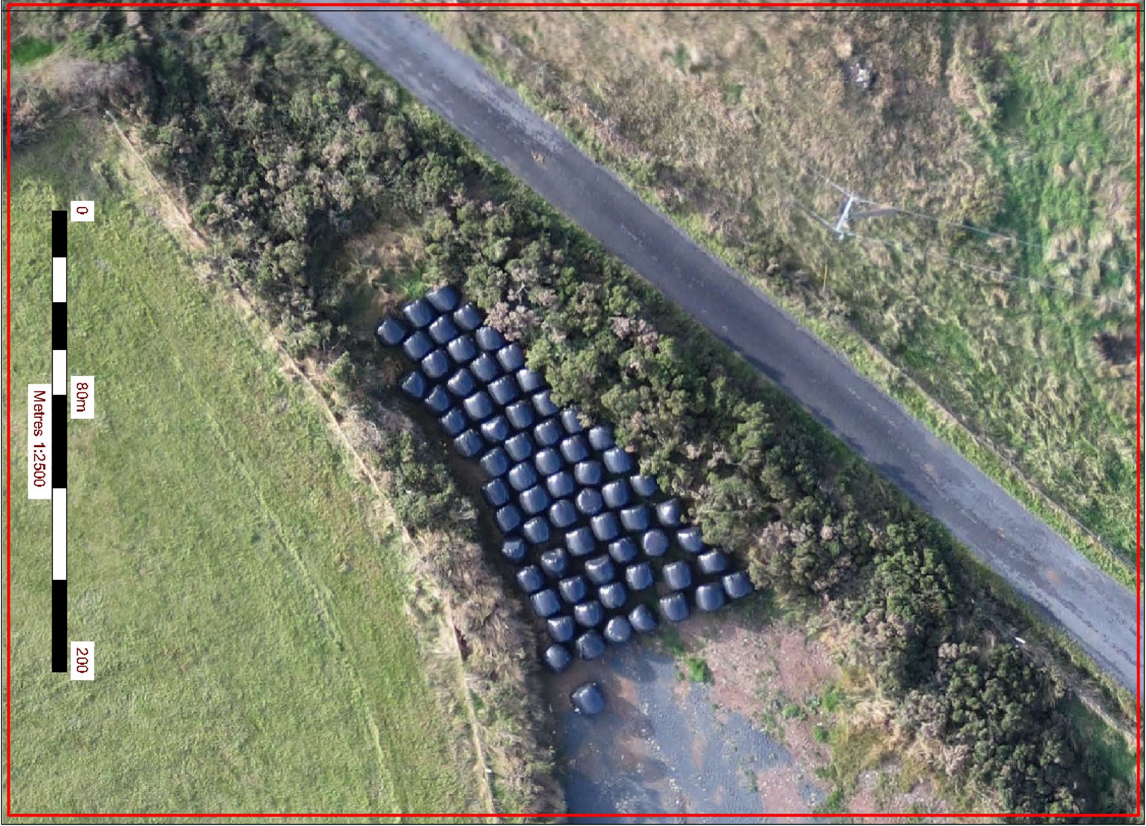
The RPAS can be used to provide data to support work on a wide range of projects including:
• providing volumetric calculations of stockpiles or quarry/open pit mine sites;
• high quality photography and mapping for site identification purposes;
• landscape and visual assessment, including Zones of Theoretical Visibility (ZTV);
• archaeology assessments, including the provision of high quality fully ortho-rectified photography and 3D modelling of specific sites;
• boundary, environmental and habitat mapping, and
• pre-construction site assessments.
Footage gathered can also be used to evaluate the impact of specific events, such as flooding or landslips.


