With the Environment Agency recently warning of the risks related to surface water flooding, following heavy mid-summer downpours, it seems timely that a UK supplier of digital mapping, property and environmental risk information, Landmark Information Group, has announced the incorporation of the EA’s surface water flooding dataset into its information products – the first commercial provider to do so.
The dataset will be now be available within its Envirocheck Flood Screening report and Site Sensitivity report.
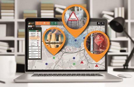
In addition, the dataset is accessible for analysis via Landmark’s Envirocheck Analysis digital platform; said to be the industry’s first online solution to digitise the Phase 1 desk study and site assessment process for environmental professionals.
Relevance to planning applications
Between April 2014 to March 2015, the Environment Agency objected to over 3,200 planning applications on the basis of flood risk*, of which at least 10% were noted as being due to ‘Unsatisfactory’ Flood Risk Assessment or Flood Consequence Assessment specifically related to Surface Water flood risk.
Landmark’s Envirocheck Flood Screening report is the first to include the EA’s surface water flooding data for England, as well as data for Wales via Natural Resources Wales (NRW), which includes insight related to the extents of surface water flooding for different return periods (i.e. the probability of occurrence in any given year). It also includes depths, flow rates, flow direction intelligence and hazard rating data, providing clients with access to a wealth of flood risk insight. The inclusion of the EA and NRW data complements the wealth of flood data sources already provided by Landmark, making Envirocheck “a highly comprehensive due diligence resource”.
As well as being available in Landmark’s Envirocheck Flood Screening Report, the EA surface water data has also been integrated into Landmark’s digital analysis tool, Envirocheck Analysis, making it possible for professionals to visualise, overlay and interrogate the data, when analysing an area’s environmental risks.
What the EA surface water dataset contains
James Winbolt, External Engagement National Lead of The Environment Agency said: “The Environment Agency’s national surface water data map of England is one of our largest datasets, containing information on depth, flow rates and flow direction. Landmark is the first of our commercial partners to be able to integrate a dataset of this size and complexity into its reports and services. The information that can be extrapolated from the dataset is impressive and will greatly support property, land, insurance and environmental professionals in determining future flood risk for a wide variety of uses.”
Envirocheck Analysis enables environmental professionals to digitally analyse current and historical maps and aerial photography, in conjunction with environmental data, such as the EA surface water map. This means that from within a single online platform, users can now assess environmental risk factors related to a piece of land, without the need to overlay printed maps, manually draw boundaries or search through rafts of printed reports. This allows faster and more accurate assessment of the potential risk and impact of flooding, or to connect potential sources of contamination with pathways and sensitive receptors.
Multi-layer flood analysis
In its flood reports, Landmark’s Envirocheck already uses JBA Risk Management’s UK wide high resolution Comprehensive Flood Map (CFM), which provides flood extents and depths throughout the UK for six flood types.
Rob Carling, Technical Director of JBA Risk Management said, “JBA’s CFM is the only UK-wide flood dataset which contains six flood layers – surface water, river, coastal, groundwater, dam break and canal failure. Also included is a layer showing areas managed by internal drainage boards. Our data, which is updated annually, includes both extents and depths and is used by over 80% of the UK primary insurance industry. This provides Landmark’s clients with exceptionally rich data on which to assess their risks or make informed judgements or decisions regarding planning, design, development, insurance or other such activities. There is also the added advantage of being able to now use Envirocheck Analysis for greater visualisation and accurate assessment of the vast datasets.”


