Advocacy group Environmental Defense Fund Europe (EDFE) together with Mayor Sadiq Khan have released the second wave of data from Breathe London, an ambitious collaborative project to measure and map air pollution across the capital.
In addition to nitrogen dioxide (NO2) measurements from the network’s 100+ stationary pods, the interactive map now includes preliminary data from the Google Street View car drives as well as current and average pollution data for fine particulate matter (PM2.5).
The new data confirms a concerning trend: Air pollution across the capital remains dangerously high. Four out of every five pods, including 90% of schools in the network, are on track to exceed World Health Organisation (WHO) annual guidelines for PM2.5, which is linked to a wide range of adverse health effects. Additionally, preliminary analysis of the mobile data shows NO2 is on average over 50% higher on major through roads than quieter, local roads.
The findings indicate that action at the national level is needed to cut pollution and create healthy, breathable cities.
Felicity Sharp, MD of Air Monitors, the company that supplied the AQMesh pods and also fitted the Google Street View Cars with air quality monitors, said: “This is a great example of the synergy that exists when data from a network of stationary pods is supplemented by mobile data; each format helps to further improve the quality of pollution assessment, delivering insights that help government and citizens to take effective action to transform pollution exposure levels.
“We have fitted vehicles with air quality monitors before, and we have installed networks of stationary monitors, but this is the first time that we have done both at the same time, in the same city. The result, is hyperlocal data – enabling the assessment of air pollution on a street by street basis.”
Small airborne particles like dust, soot and drops of liquids can create PM. Most PM pollution formed in urban areas is from fossil fuels used in vehicles, construction equipment, heat & power (including wood burning) and commercial cooking.
Health guidelines
Breathe London’s data from the stationary network suggests that over 80% of the pods are likely to surpass WHO long-term guideline for PM2.5. In other words, the annual average concentration of PM2.5 pollution – at the vast majority of measuring sites – is at unsafe levels. Moreover, although thresholds for PM have been set as general guidelines, there is little evidence to suggest a safe threshold exists below which there are no adverse health effects. Despite the recognition that PM is not safe at any level, it is currently legal in the UK to have pollution levels above what is recommended by the WHO.
Polluting traffic
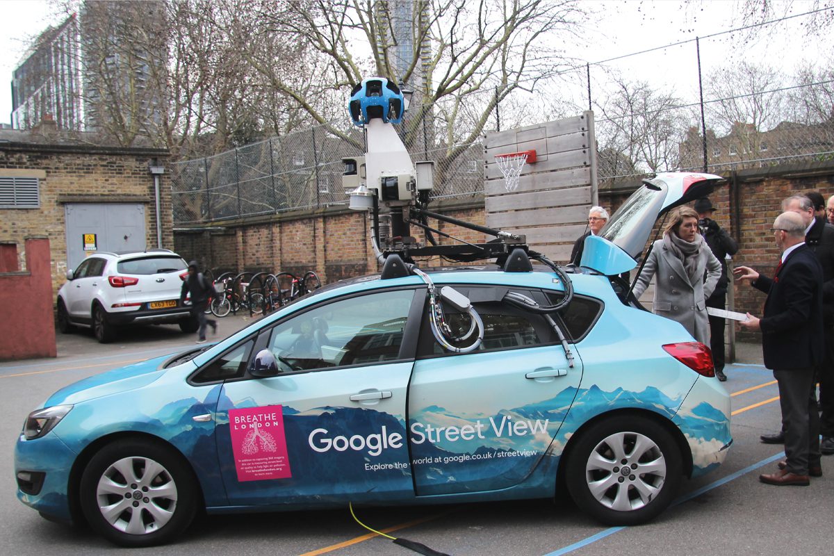
Since autumn 2018, two specially-equipped Google Street View cars have been driving London’s streets to measure air pollution. Data from the drives undertaken so far are now visible on the map. When comparing pollution readings from busy versus quieter streets, preliminary analysis reveals NO2 is on average over 50% higher on busy major through roads than on quieter, local roads. Like PM, pollution from NO2 is linked to a variety of health impacts, including aggravating asthma and adversely impacting lung function in children.
National action
Breathe London’s data is further evidence that the UK needs clear, new duties and policies to clean the air and protect public health. Yet there is little urgency in the Government’s recently-released Environment Bill, which was eagerly anticipated as the first major environmental legislation in over 20 years. Despite the opportunity to create far-reaching, ambitious new rules for limiting harmful air pollution, the Bill does not go far enough in setting firm, legally enforceable targets. EDFE has suggested an alternative framework to help pinpoint pollution sources and create new duties for the Government to address emissions.
PM2.5, NO2 and other harmful pollutants are currently at dangerously unhealthy levels across the capital. Using granular data to help target policies and cleaning up the most significant sources would go a long way towards creating cities that are healthier for all. The Breathe London data will also be available on the new Air Quality Data Commons (AQDC), an open-access data platform where people can share and use data from low-and medium-cost air quality sensors.


