

Adapting to climate change is now a challenge for every industry, regardless of location. It is also having a substantial impact on the flood risk management practices of local and national governments.
All strategies addressing the effects of climate change, including destructive floods, call for the drawing-up of long-term scenarios and plans, particularly for cities and city planning. These events’ aftermath can bring substantial financial losses – including damage to property and pollution of waters, soils, and ecological systems.
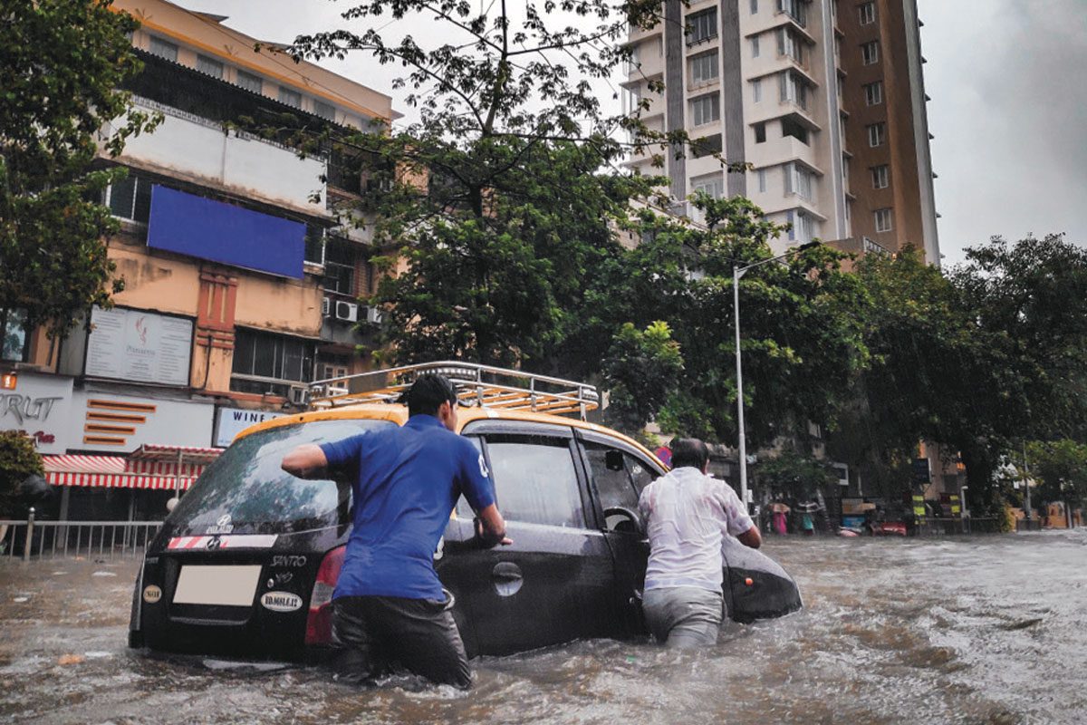
Each year, the numbers of endangered and vulnerable populations increases significantly. People living in flood-prone areas experience the destructive force of floods first hand. Projections suggest this number will continue to rise, particularly in North America, Central Asia, and Africa.
Flood management encompasses many activities including predicting flood hazard and endangerment, appraising the various direct and indirect effects or societal repercussions, and developing instruments for risk reduction.
With the development of tailor-made devices for monitoring floods, Europe-based instrumentation firm Geolux addresses the economic and ecological vulnerabilities to infrastructure and people. By developing instruments that use non-contact radar technology to measure water level and water flow, Geolux focuses on managing floods in a way that supports the end user.
Installation of instruments above the water, usually on an existing overhead structure such as a bridge, is easy, fast, and requires minimal maintenance. Furthermore, Geolux demonstrates its commitment to superior professionalism and upholding industry standards by holding two calibration certificates issued by METAS, the Swiss-based Federal Institute of Metrology. More info at the URL below.
geolux-radars.com


