

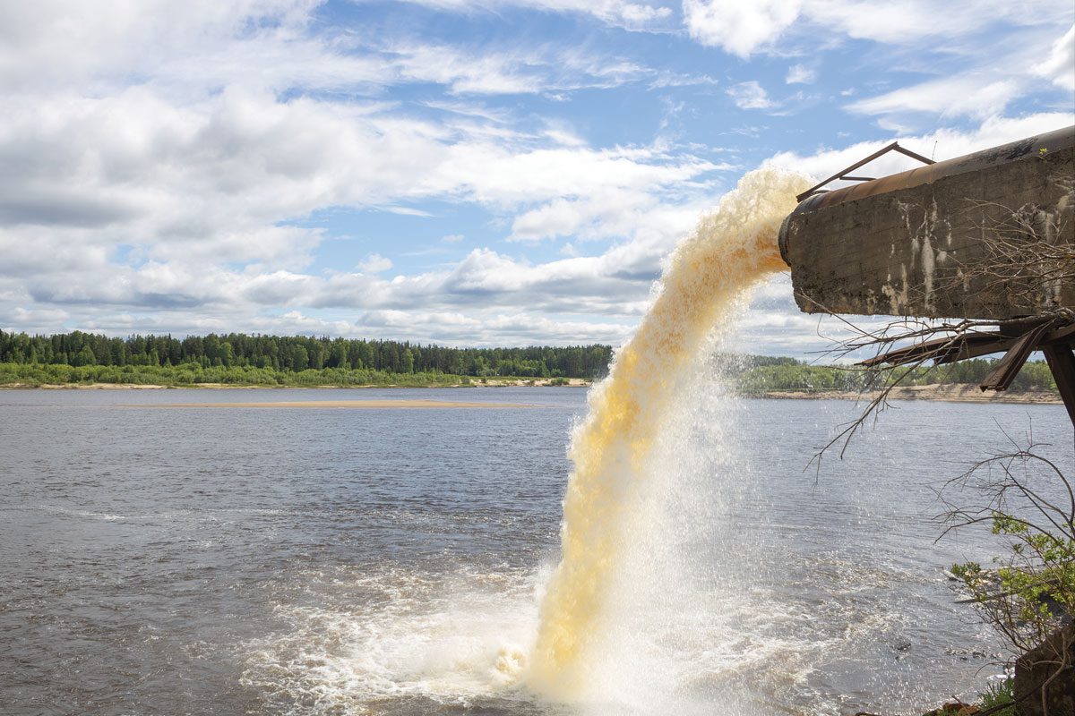
Near-real time alerts of raw sewage discharges have been added to the interactive Sewage Map provided by charity The Rivers Trust, and the group is now calling for all water companies to make this kind of data publicly available. The layer shows which combined sewer overflows (CSOs) are discharging at any given moment, as well as those that have discharged within the last 48 hours.
Thanks to a late push from environmental campaigners, the 2021 Environment Act stipulated that all English water companies must publish real-time alerts of sewage discharges into waterways, but it didn’t include a deadline for doing so. Currently, the only water company to have shared live data in a widely accessible format is Thames Water.
Technical Director David Johnson said: “We’ve seen the power of open data in recent years as people have woken up to the reality of sewage pollution, but annual summaries are no longer good enough. In the interests of transparency, we’re calling on all water companies to urgently provide real-time data on sewage discharges. This will not only allow the public to make informed decisions about safe river recreation, but also will help those of us working in the water sector understand how the sewerage system is being managed.”
Seeing when sewage discharges are happening rather than just annual summary numbers would allow for comparisons against things like weather and groundwater conditions, which are often cited as reasons for combined sewer overflows being used so regularly. It would also add to an evidence base that drives the large suite of investment in the sewage and waste water system that was brought forward in the government’s recently announced Plan for Water.
This latest development follows a trend in recent years, of more and more data becoming available that would allow the general public to track the spillage of sewage-polluted water into rivers.


